Discover the Melton Navigation with these new walks
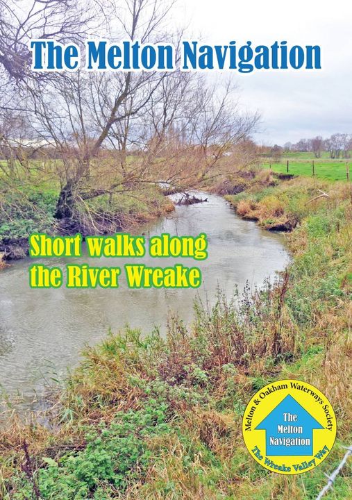
The Society has published a new book of walks to encourage more people to discover the Melton Navigation. These booklets have proved very popular.
The 6 walks along the River Wreake follow, as closely as possible, the original route of the Navigation, from Melton Mowbray to Cossington, a distance of just over 16 miles.
They are based on the original Wreake Valley Way route, which was compiled shortly after the Society was formed in 1997 but they have been updated and expanded and now include information about the villages and other points of interest along the way.
Most walks take around a couple of hours for both the outward and return journey and some include a circular route.
It is no longer possible to walk alongside the river all the way because, when the Navigation was abandoned in the late 1800s, the towpath reverted to private landowners. You can, however, see many of the 12 original locks, some of which are in remarkably good condition.
Following are the individual walks:
- Walk 1: Melton Mowbray to Eye Kettleby Lock
- Walk 2: Eye Kettleby Lock to Kirby Bellars
- Walk 3: Kirby Bellars to Frisby on the Wreake
- Walk 4: Frisby on the Wreake to Hoby
- Walk 5: Hoby to Thrussington or Ratcliffe on the Wreake
- Walk 6: Ratcliffe on the Wreake to Three Way Bridge & the River Soar
The book contains details of how to get to the starting points (and return) either by car or bus and walks can be undertaken individually or linked together.
The Society hopes the book will help make more people aware of the Navigation’s history and what MOWS are doing to restore it with the aim of enabling boats to once again sail from the national canal network into the centre of Melton.
These are delightful walks through some beautiful countryside and lovely villages and there’s fascinating history.
Costing just £3.95, the 40-page book is currently available at Melton Sports in King Street, Melton, Grange Garden Centre at Asfordby Hill, Hilltop Farm shop, the Country Park cafe. It will shortly be on sale in other outlets. Also available online from the Railway and Canal Historical Society Shop.
Discover the Melton Navigation History
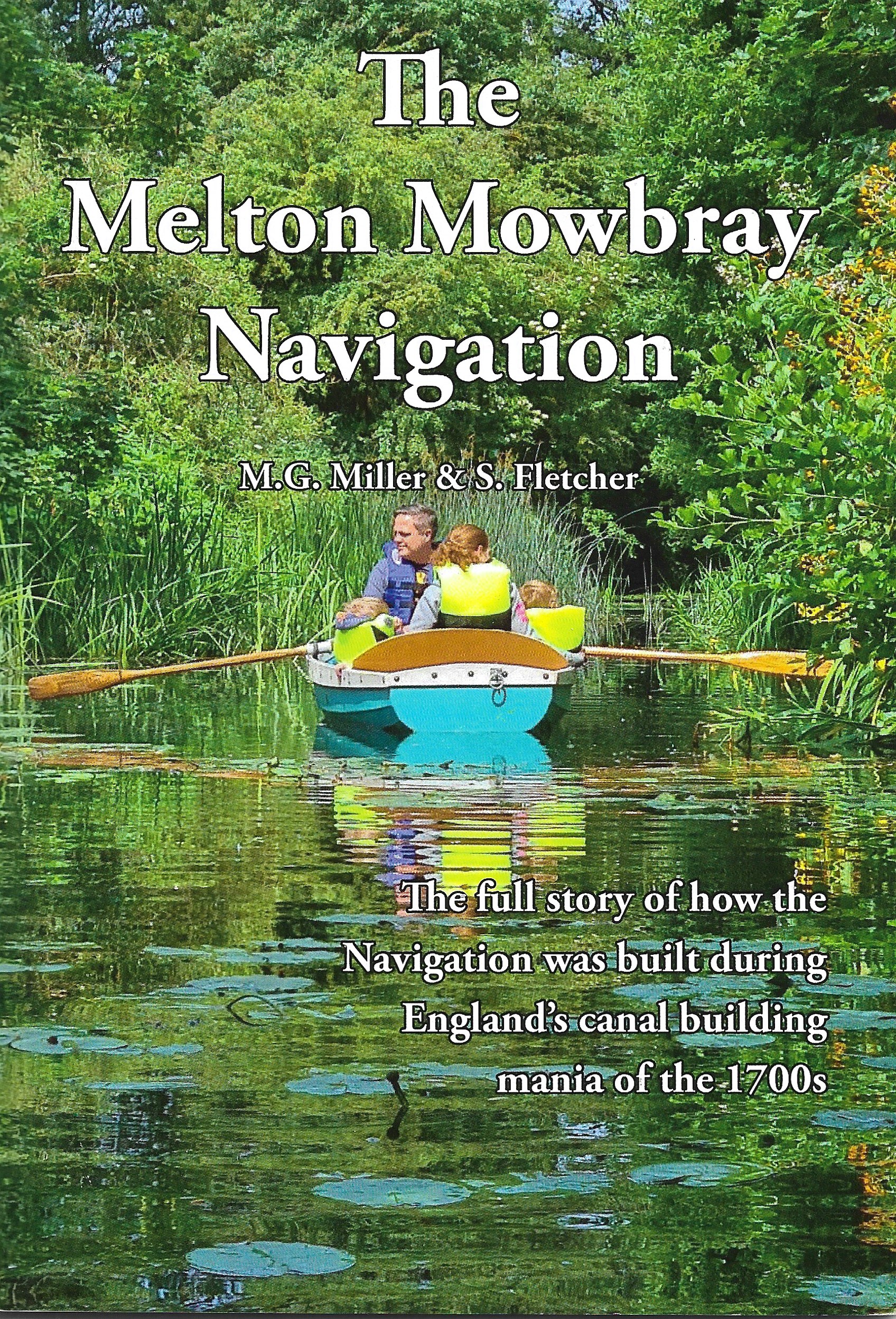
By M.G. Miller and S. Fletcher
This is a reprint of the second edition (1993) of a long out of print RCHS publication (first published 1984). It has been reprinted by the Melton & Oakham Waterways Society, with our permission, and we have agreed to make it available through the online shop.
Apart from a change of cover and the addition of some pages at the front and back to give an update on the current state of the Navigation, the original text has been retained unaltered (apart from minor alterations to the layout), albeit completely reset.
This is a publication that is well worth reading. Not only does it give a concise history of the Navigation from 1781 when the proposal for it was first put forward through to 1791 when it received the Royal Assent, and finally on to 1 August 1877 when the Melton Mowbray Navigation (Abandonment) Act was passed; it also includes a section concerning the Navigation as it is today. In this towpath guide the authors have split the Navigation into sections of about one to two miles in length. Each of these detail the many sights and features of interest still to be seen.
THE MELTON MOWBRAY NAVIGATION, M. G. Miller and S. Fletcher, 48 pp., 15 photo illustrations, location map and strip maps, soft covers. Also available online from Railway and Canal Historical Society, ISBN 0-901461-37-7, £2.40 + 50p p&p.