As reported in the work party reports for 4 August 2014, a lock gate was discovered. Our chairmam emailed Helen Wells at the Leicester Archaeological unit and had this reply:
Do you think that the concrete structure/timber/structure overhanging the canal formed something contemporary with the operation of the canal, or could it have been installed following its closure? I don’t know when the part in Play Close was filled in – I expect you do? (I can tell it must have been before the 1884 Ordnance Survey map since it’s filled in on that, so pretty quick work following the canal’s closure!)
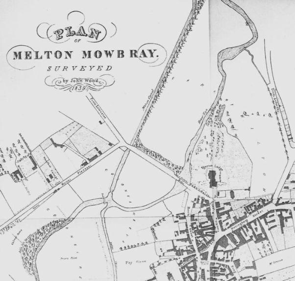
Interesting to note that the 1839 map shows a pinch point at that location – would this make it narrow enough for a pair of those lock gates to span the canal? Is there any sign of a second concrete structure on the other side of the canal that could have formed this pinch point?